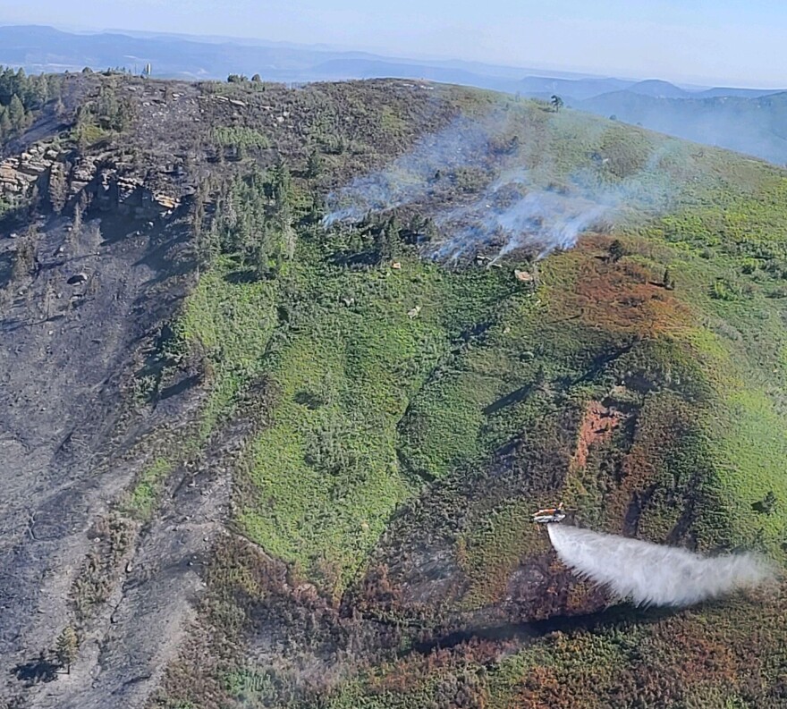
Updated 12:00 P.M. Monday, May 31, 2002
All evacuation warnings have been lifted and the Perins Peak Fire is projected to be completely contained within the next 72 hours. However, fire danger remains high in the region.
Management of the fire has been turned over to the BLM's Tres Rios Field Office.
Perins Peak Fire Facts
- Approximate date/time of ignition: Around 5:00 P.M., Tuesday, May 24, 2022
- Location: 1.5 miles west of Durango
- Coordinates: 37.299 latitude, -107.912 longitude
- Approximate burn area: From the bottom of Rockridge Trail to the Perins Peak summit
- Fuels: Dense Gambel oak, mixed-conifer forest
- Cause: Under investigation but suspected to be human-caused
- Response: Firefighters are still assigned to the fire and will continue to work to keep any remaining fire within the established perimeter.
- Coordination: Tres Rios Field Office of the Bureau of Land Management
- General fire weather outlook: Fire danger remains high in southwest Colorado. Fire restrictions are in place on public lands.
Information Resources:
- Inciweb incident page for Perins Peak Fire (According to Inciweb, the page may not be updated unless new developments occur)
- Durango Fire & Rescue feed on Twitter
- Durango Interagency Fire Dispatch feed on Facebook
- #PerinsPeakFire topic feed on Twitter
- La Plata County Pre-Evacuation and Evacuation Maps
- City of Durango on Facebook
Photos from the Perins Peak Fire:

Inciweb

Inciweb

Inciweb

Inciweb

Inciweb

Inciweb

Inciweb

Inciweb


